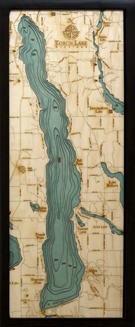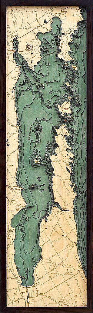
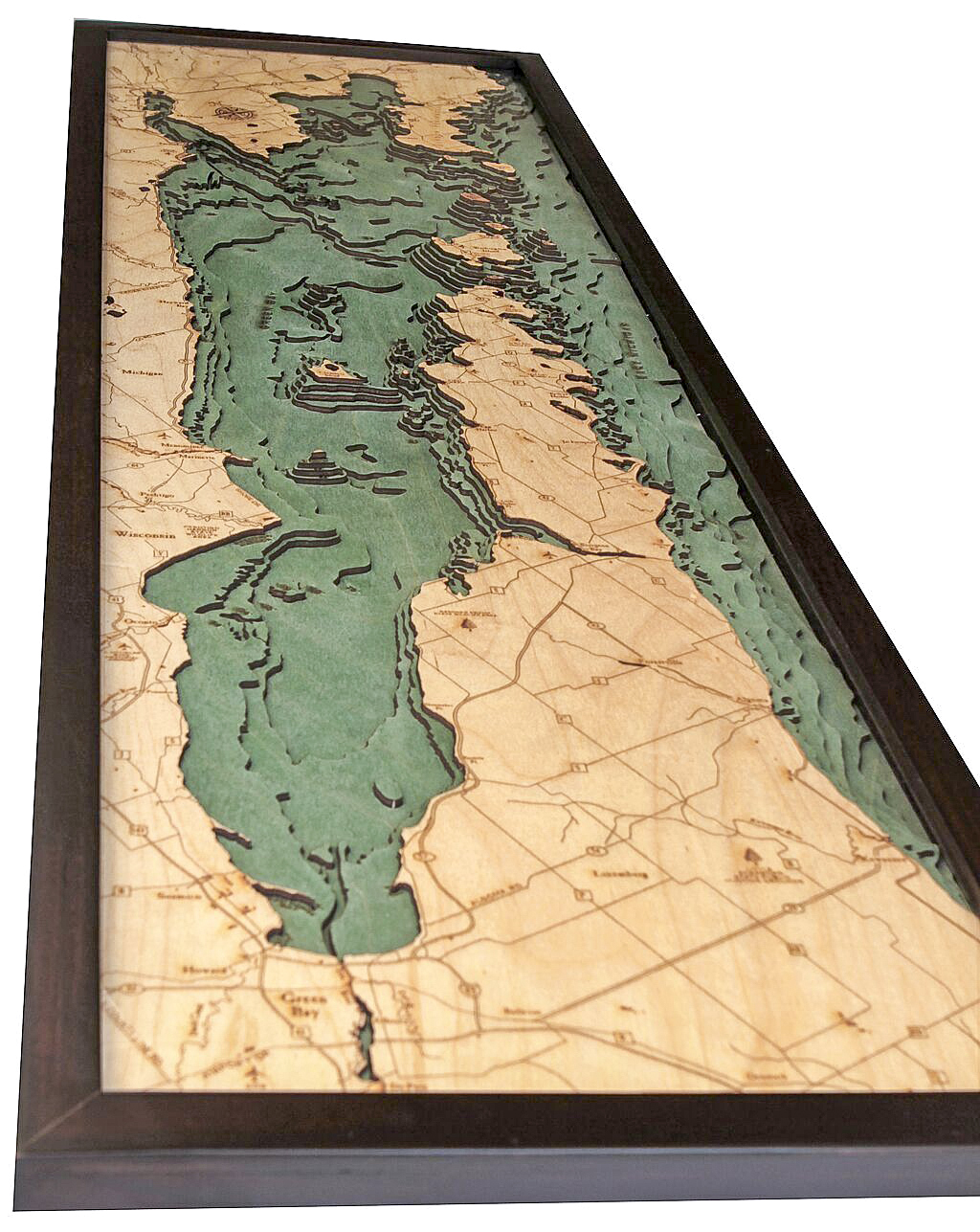
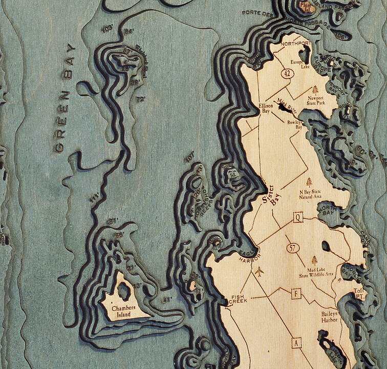
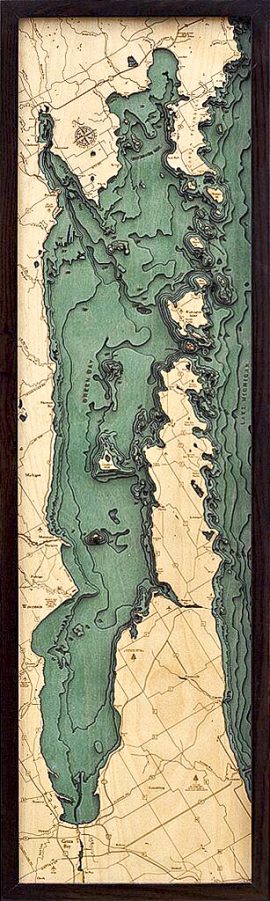


Bathymetric Map Green Bay (Door County) & Peninsula, Wisconsin
$298.00
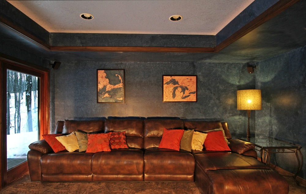
Extremely accurate bathymetric map of Green Bay (Door County) and Peninsula, Wisconsin and surrounding area. Entering the bay from the south, boats are tempted to pass through a treacherous strait, which is littered with shipwrecks and certainly not to be trifled with. Early French explorers knew it as “Death’s Door”, which is a name they adopted from the natives. The origin of that spooky moniker is a particularly fascinating story about two sparring tribes.
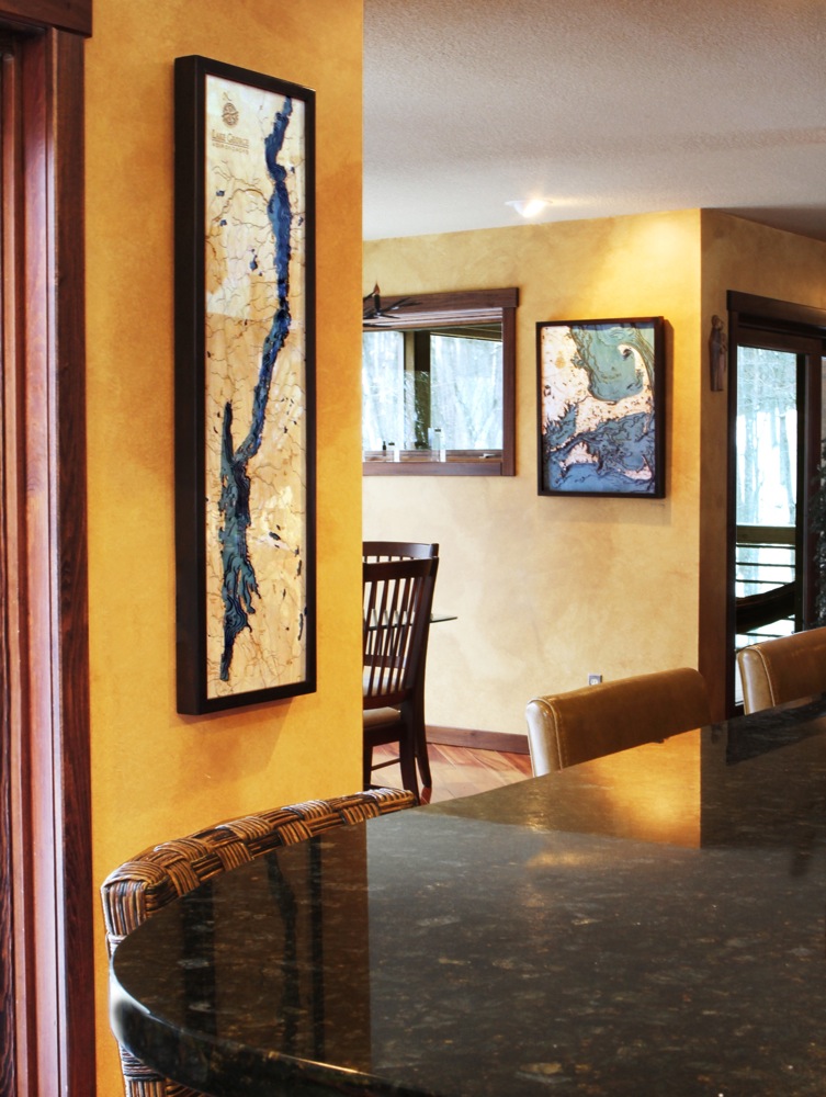
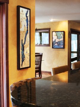
This three dimensional map is carved from Baltic birch wood, framed and has a acrylic covering to protect the wood. Professional cartographers are used in the creation of each individual chart in order to insure the utmost accuracy. Some maps come in two sizes in order to fit virtually any area in the home, office or boat. We have charts from areas across the U.S. available on a drop ship basis. This is a great item at an unbelievable price. If you are searching for a particular area, please call or email.
The color will differ slightly with both the frame and background as each of the maps are hand stained and may vary from the picture.
Out of stock
| Weight | 6.00 lbs |
|---|---|
| Catalog: | BC-DoorCountyPeninsula |
| Dimensions: | 13.5"H x 43"W |
Related products