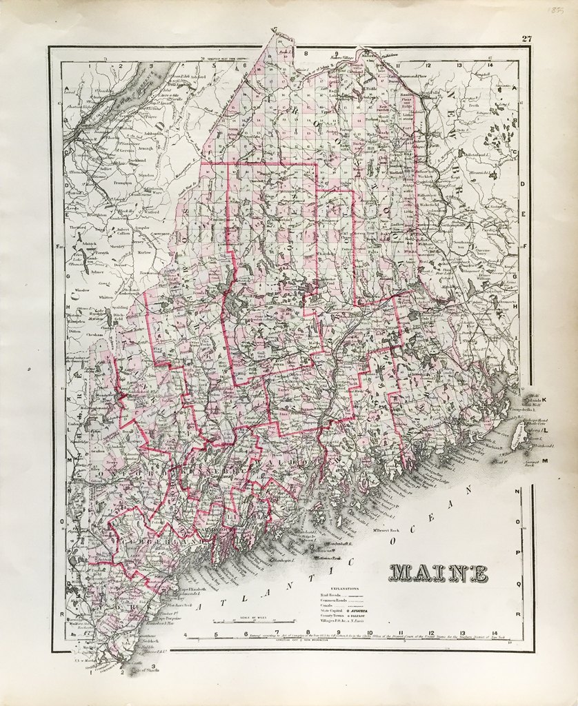
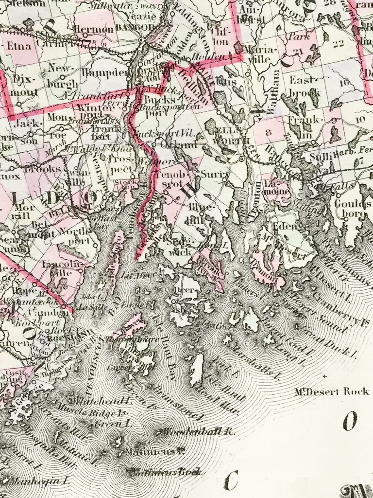
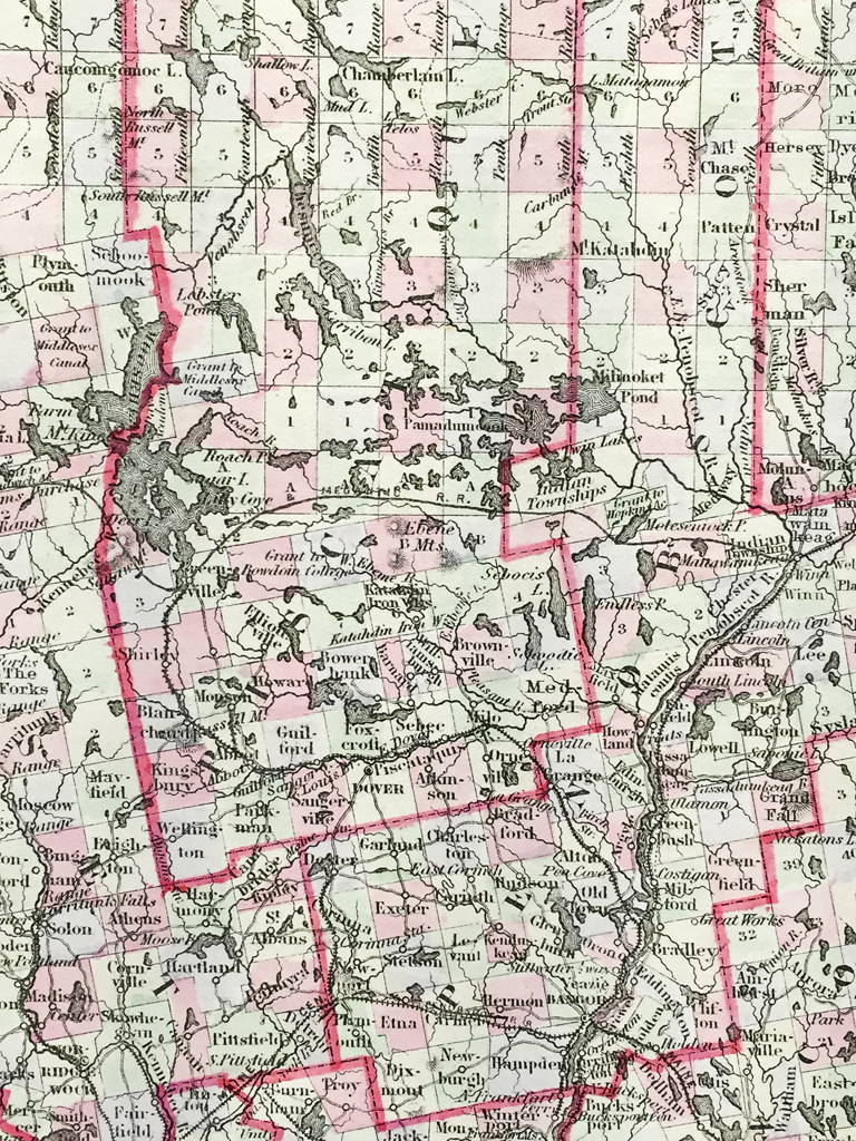
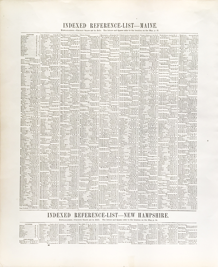
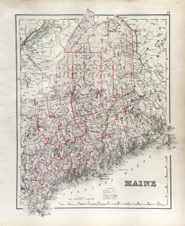
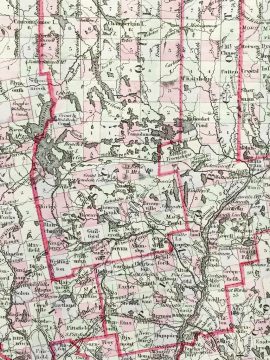
Maine State Map (1855)
$225.00
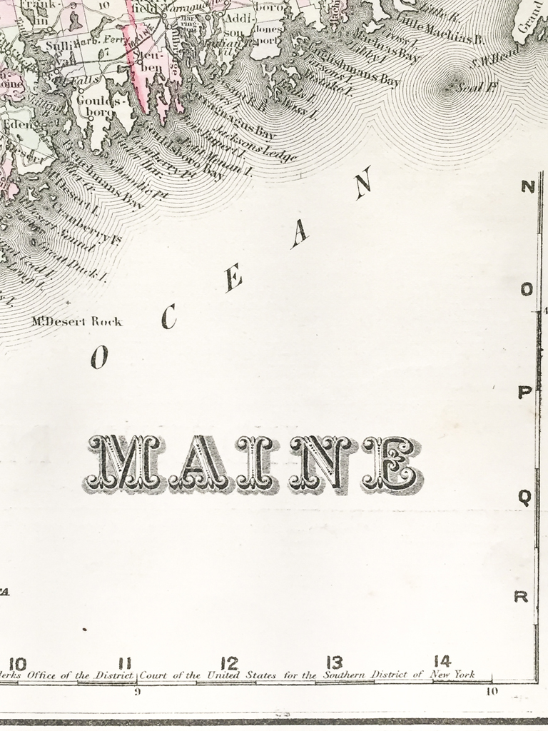
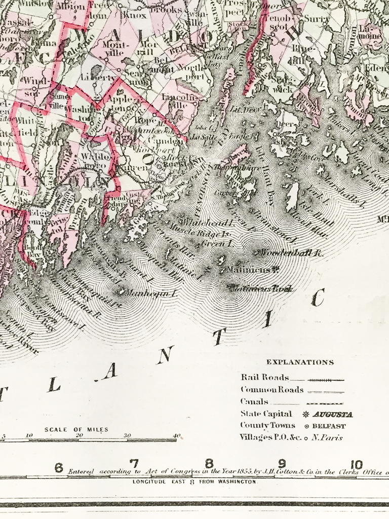
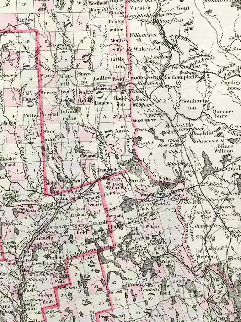
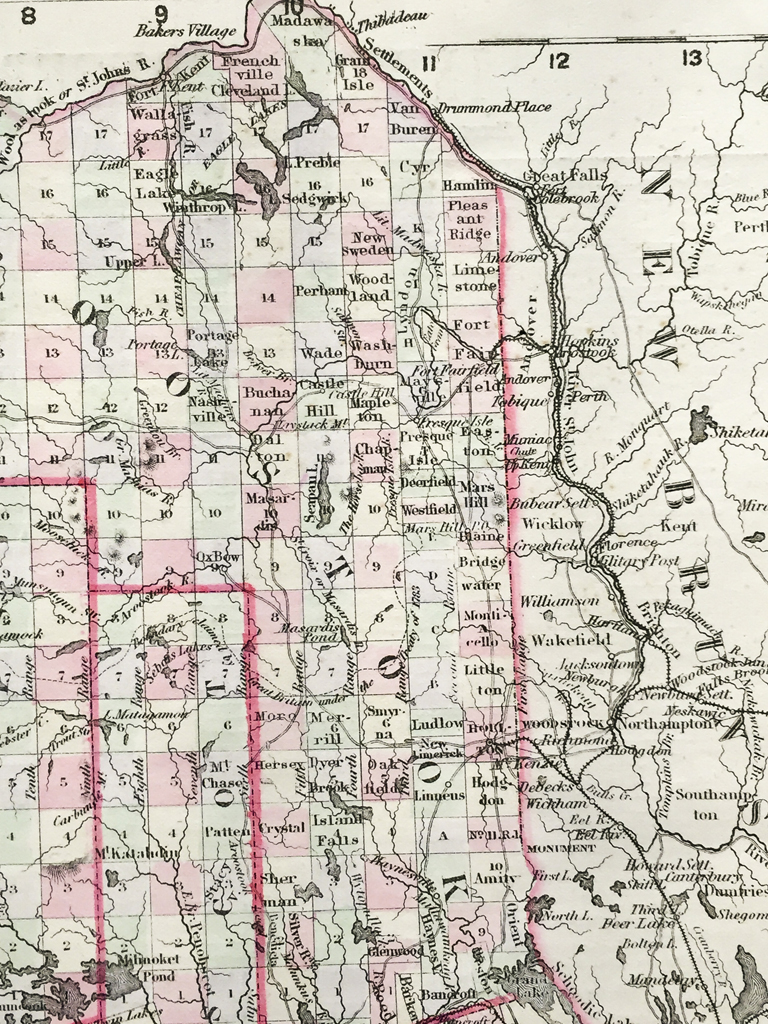
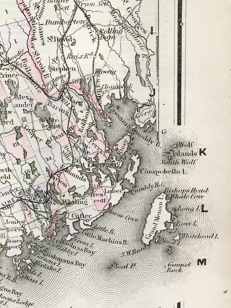
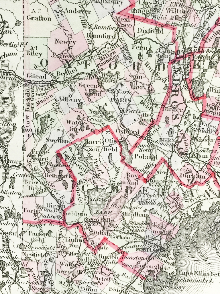
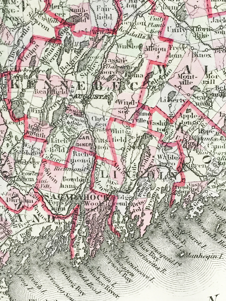
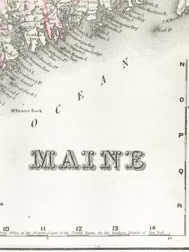
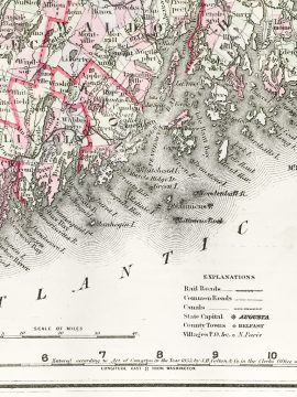
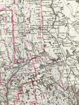
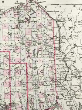
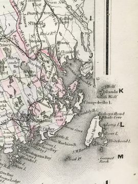
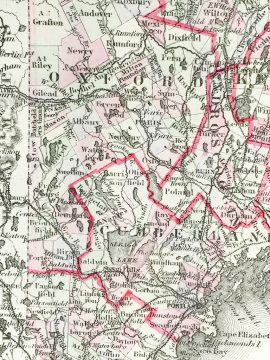
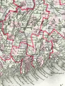
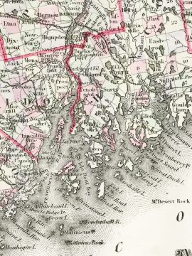
Original antique hand-colored steel-plate engraved map of Maine and vicinity from 1855 published by J.H. Colton & Co., New York. Each county is distinguished by red outline with cities, towns, roads, and rail lines acutely illustrated. The J.H. Colton Company was know for producing detailed, hand-colored maps from around the world. Their maps were printed using engraved steel plates, which produced higher quality prints than maps made with less costly wax engravings. They were often individually hand watercolored and were recognized for their decorative borders. These maps are now highly sought after by historians and map collectors alike.
In stock
Additional information
| Weight | 2.00 lbs |
|---|---|
| Catalog: | HISTMapState-015 |
| Dimensions: | 14 1/8"W x 17 3/8"H |