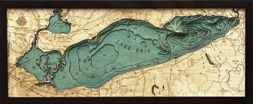
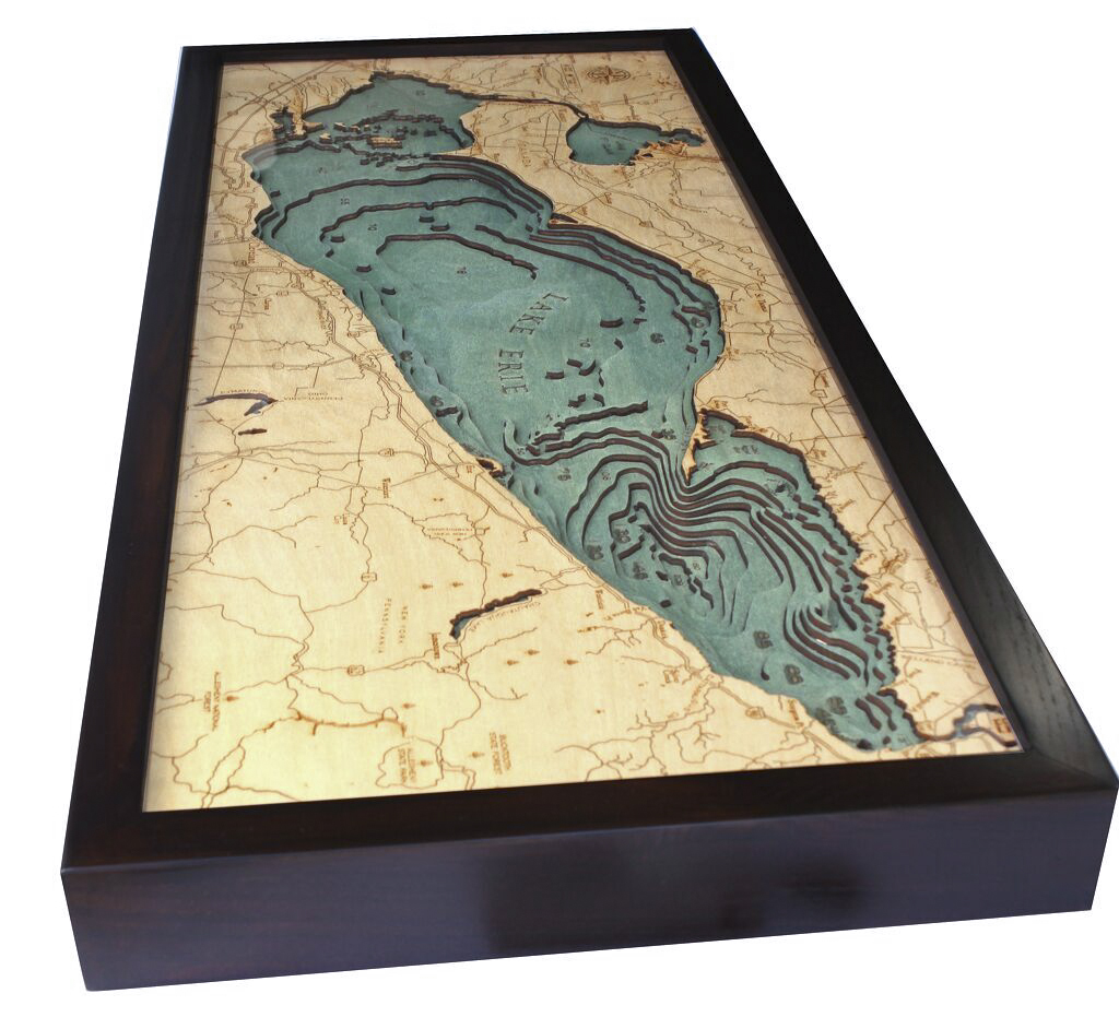
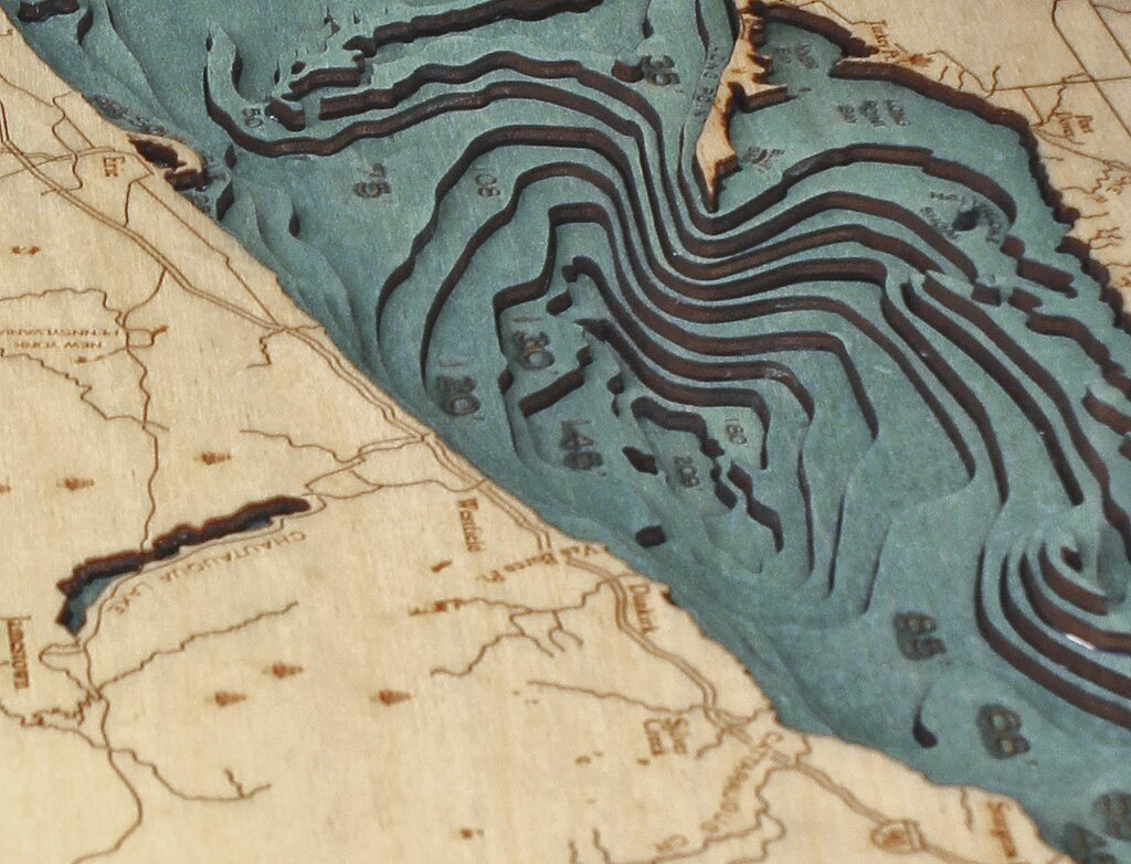


Bathymetric Map Lake Erie
$194.00
Extremely accurate bathymetric map of the Lake Erie, Ohio and surrounding area. The shallowest of the Great Lakes, Lake Erie is downstream of Lake Huron. Water flows through Lake St. Clair, and into Lake Erie via the Detroit River. Its outflow creates the stunning Niagara Falls.
It’s a popular destination for divers who take advantage of its shallow waters and proliferance of shipwrecks; there are more than 250 confirmed shipwreck locations in Lake Erie, and it’s believed that the lake holds a quarter of all 8,000 estimated shipwrecks in the Great Lakes. Most remain undiscovered, but are believed to be well preserved and in good condition.
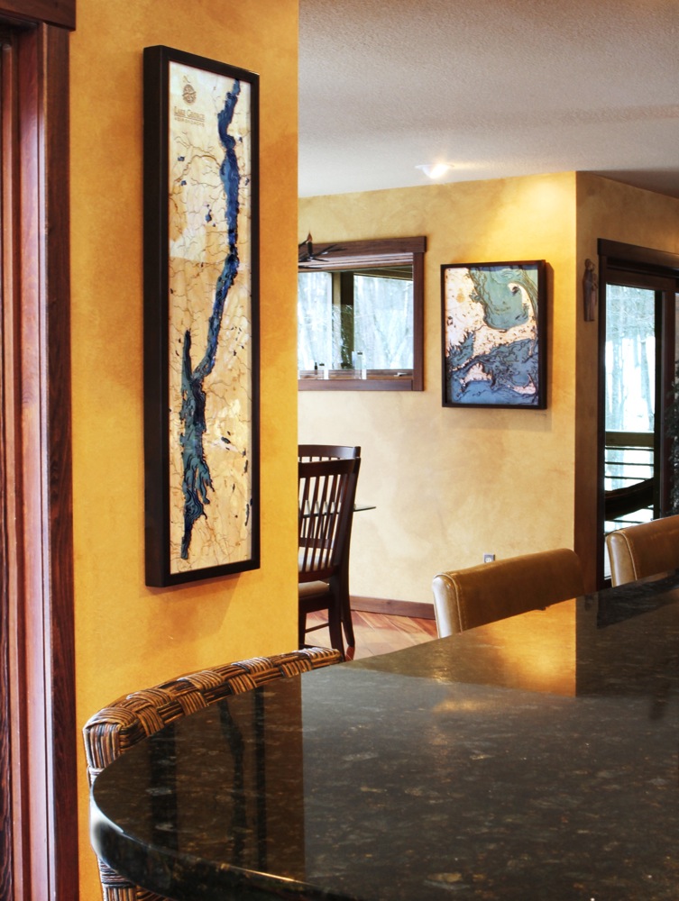
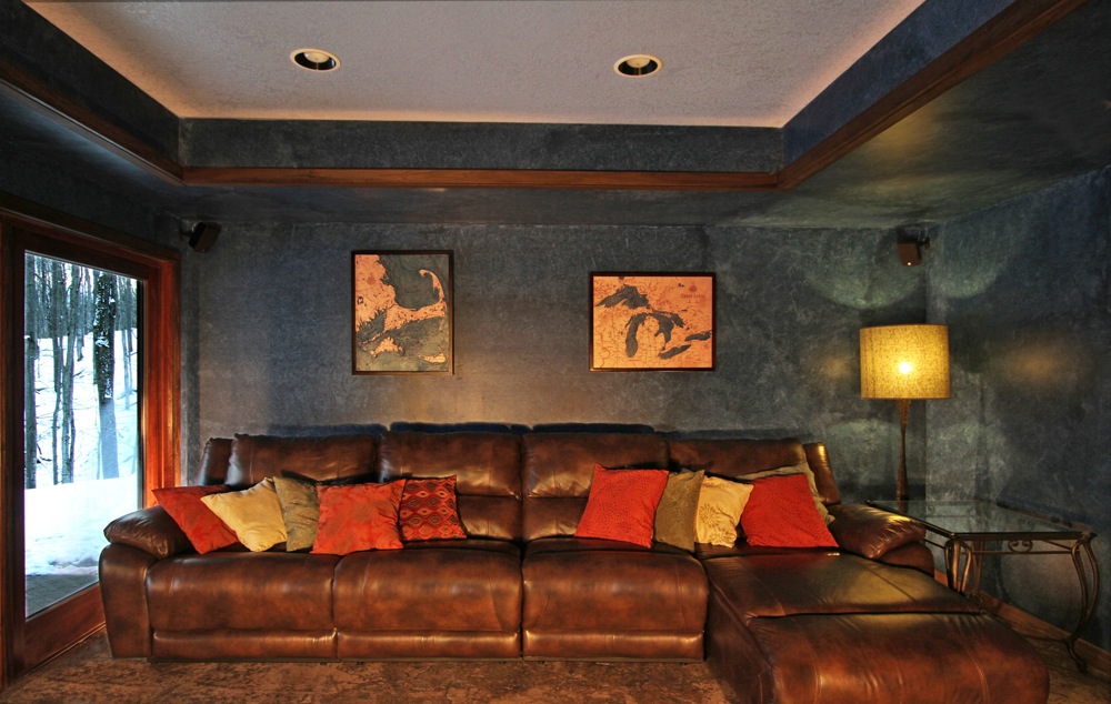
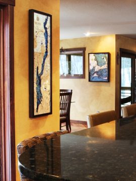
This three dimensional map is carved from Baltic birch wood, framed and has a acrylic covering to protect the wood. Professional cartographers are used in the creation of each individual chart in order to insure the utmost accuracy. Some maps come in two sizes in order to fit virtually any area in the home, office or boat. We have charts from areas across the U.S. available on a drop ship basis. This is a great item at an unbelievable price. If you are searching for a particular area, please call or email.
The color will differ slightly with both the frame and background as each of the maps are hand stained and may vary from the picture.
| Weight | 6.00 lbs |
|---|---|
| Catalog: | BC-LakeErie |
| Dimensions: | 31"W x 13.5"H |
Related products