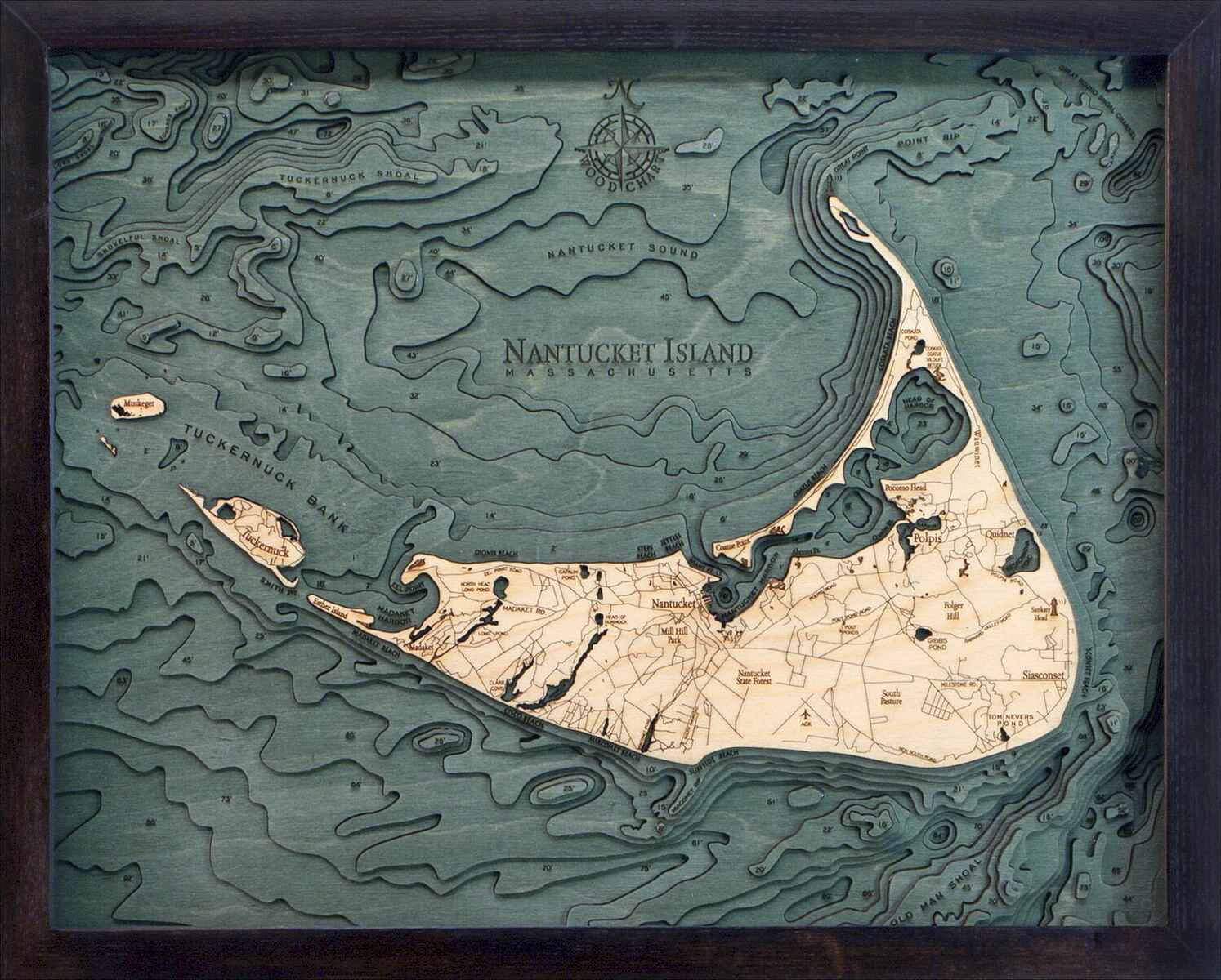
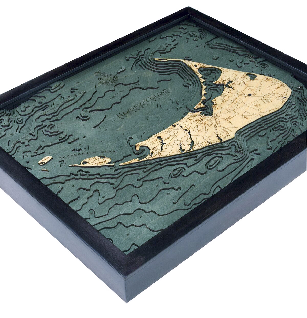
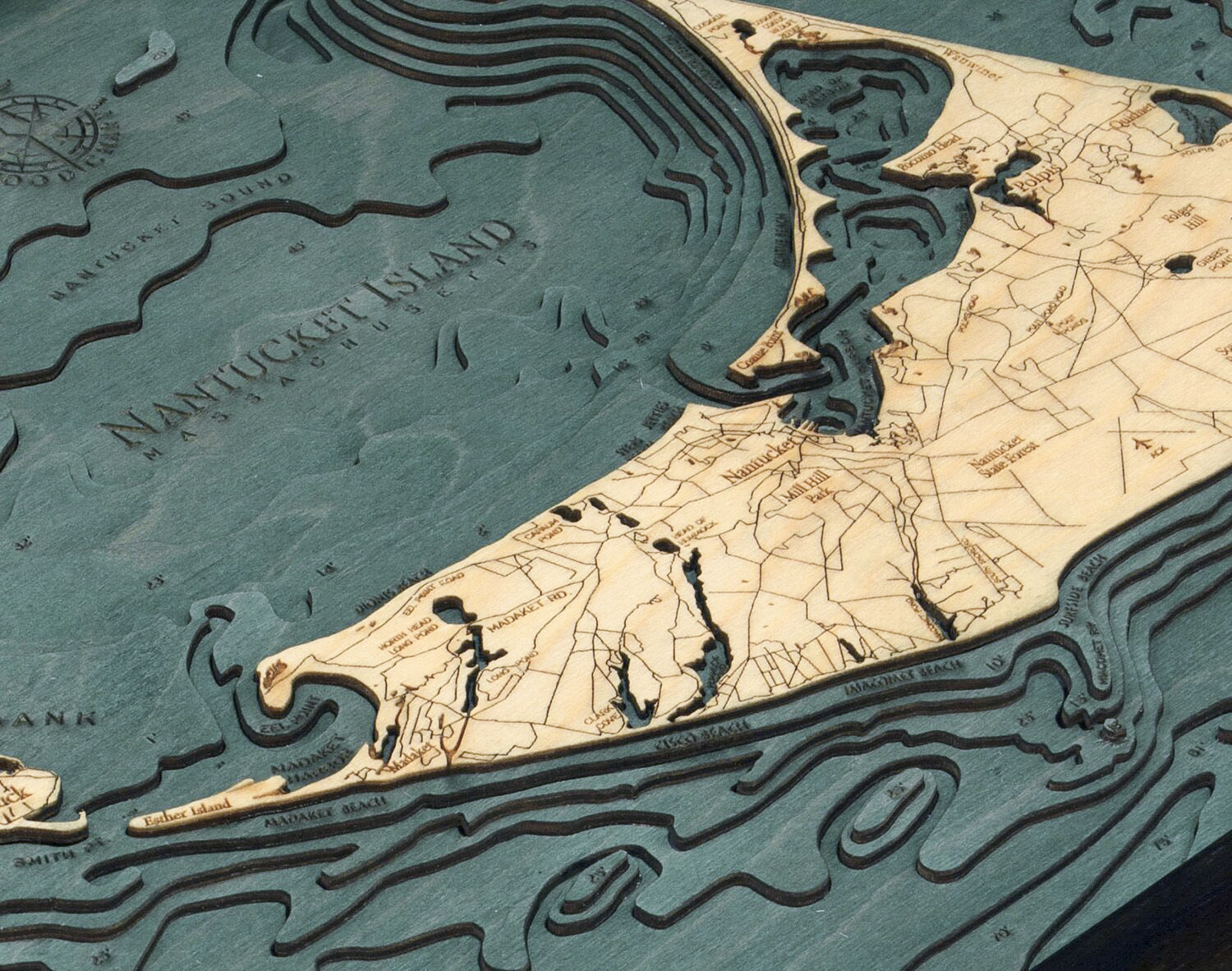


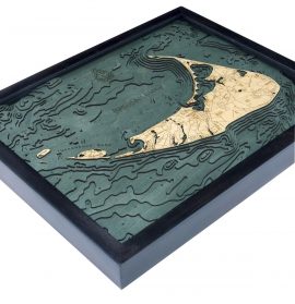


Bathymetric Map Nantucket Island, Massachusetts
$169.00
Extremely accurate bathymetric map of Nantucket Island, Massachusetts and surrounding area. Nantucket is primarily an affluent summer colony. Most of its homes are seasonally occupied, and in the summer months the island’s population swells from 10,000 to over 50,000. It’s accessible only by boat or by air.
This three dimensional map is carved from Baltic birch wood, framed and has a acrylic covering to protect the wood. Professional cartographers are used in the creation of each individual chart in order to insure the utmost accuracy. Some maps come in two sizes in order to fit virtually any area in the home, office or boat. We have charts from areas across the U.S. available on a drop ship basis. This is a great item at an unbelievable price. If you are searching for a particular area, please call or email.
The color will differ slightly with both the frame and background as each of the maps are hand stained and may vary from the picture.
Out of stock
| Weight | 6.00 lbs |
|---|---|
| Catalog: | BC-NantucketIsland |
| Dimensions: | 16"H x 20"W |
Related products