


Delaware and Maryland State Map (1865)
$160.00
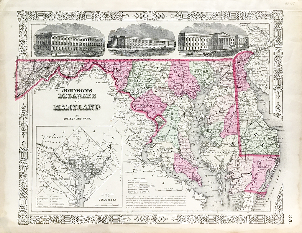
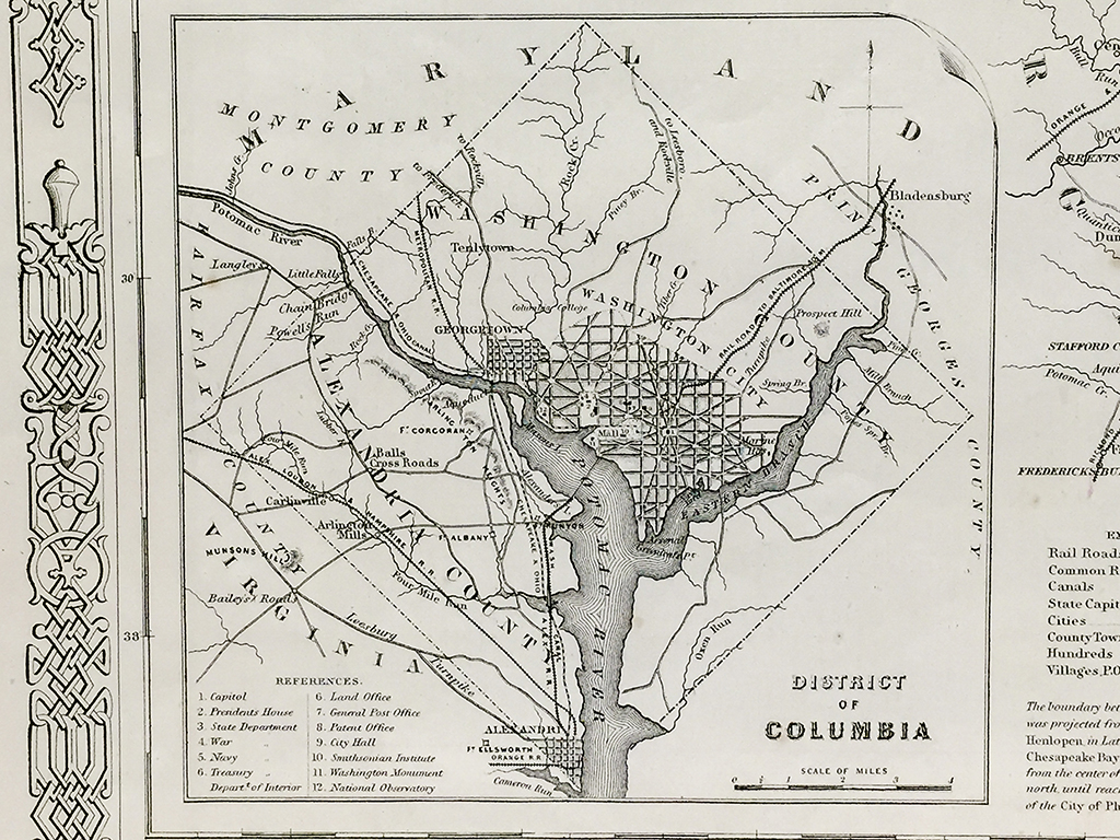
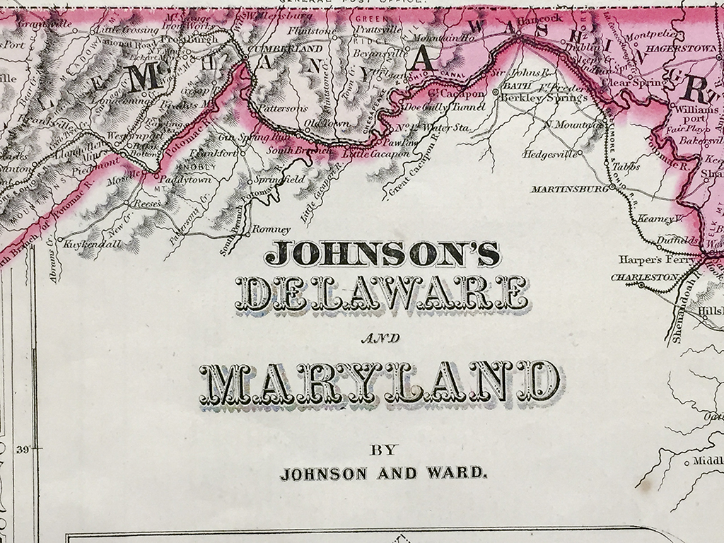
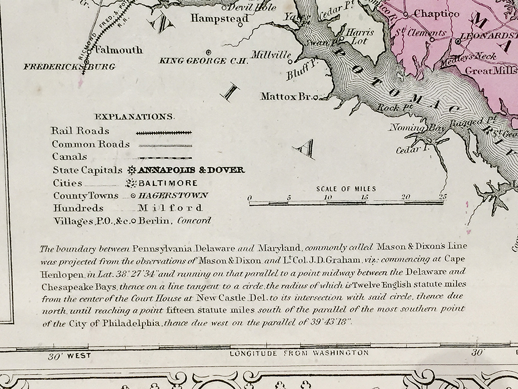
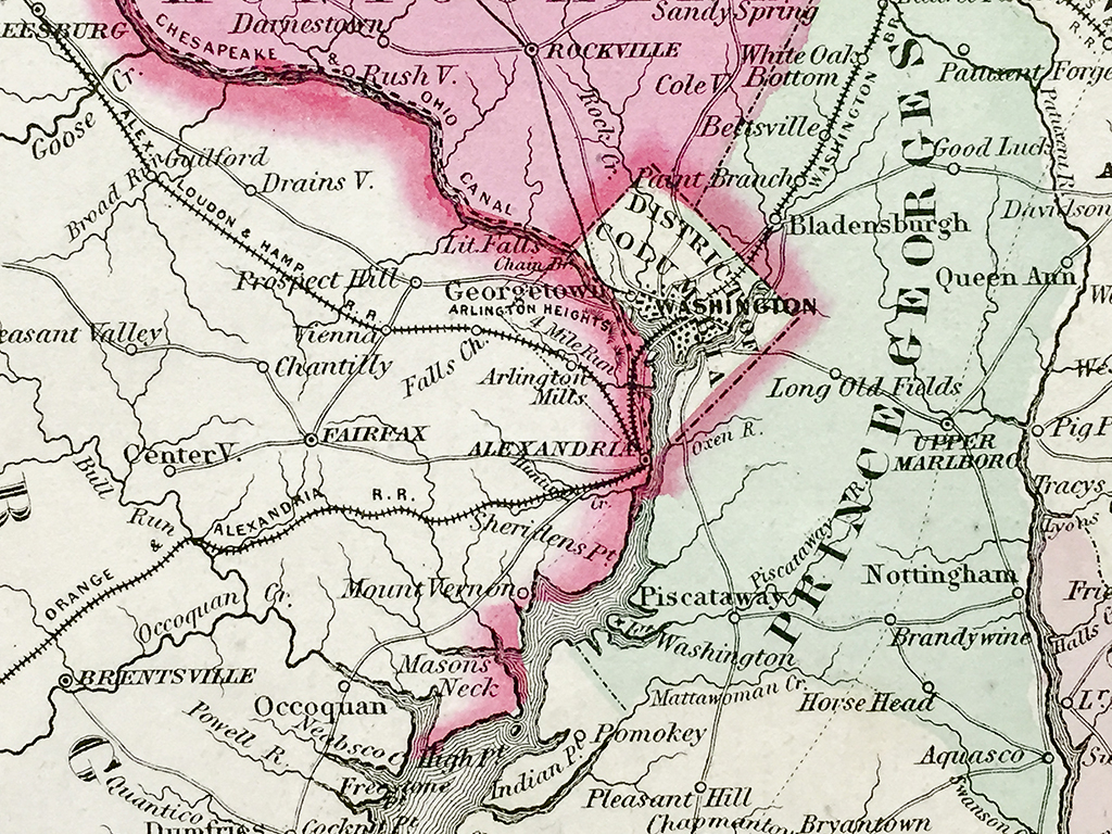
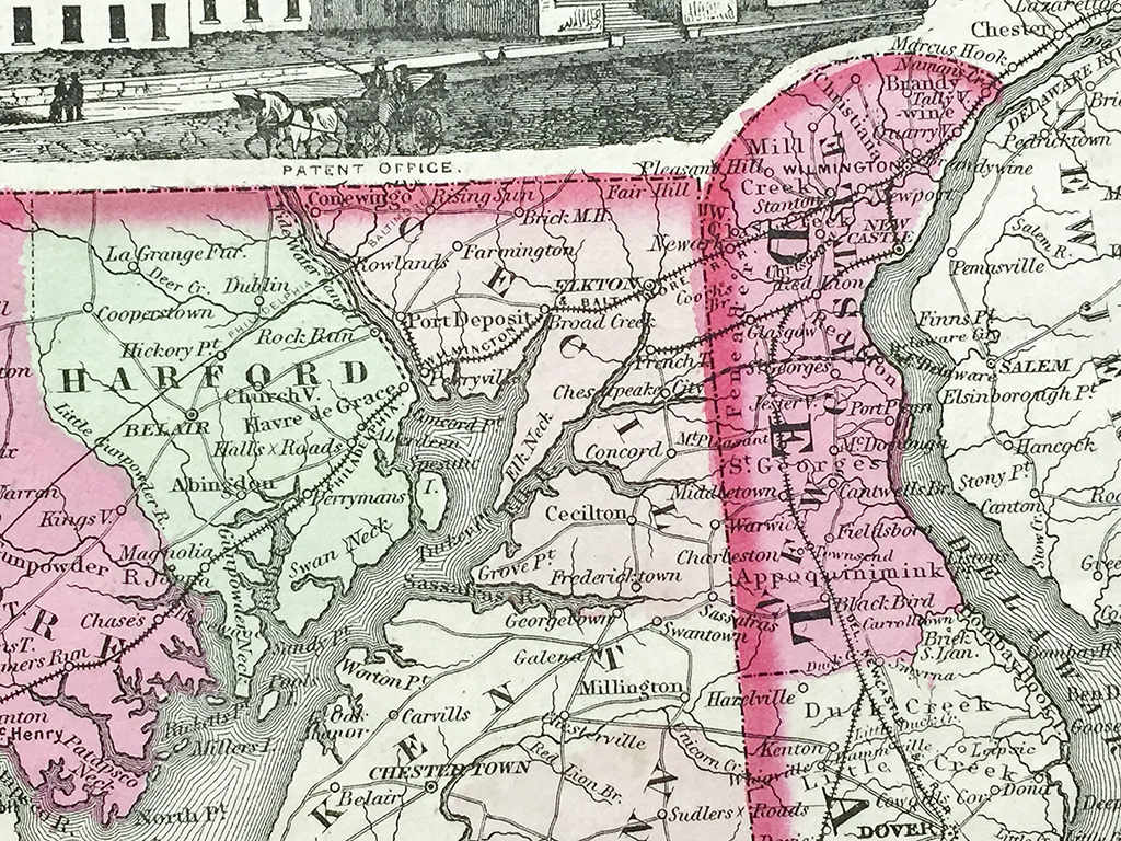
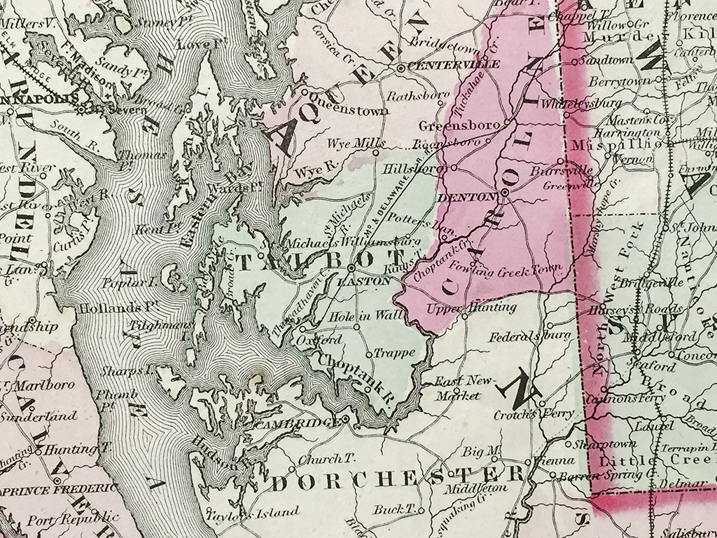
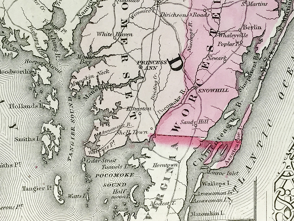
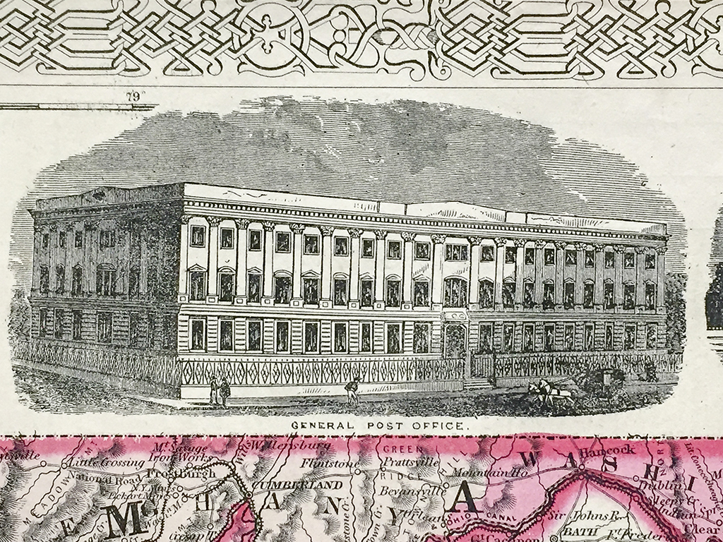
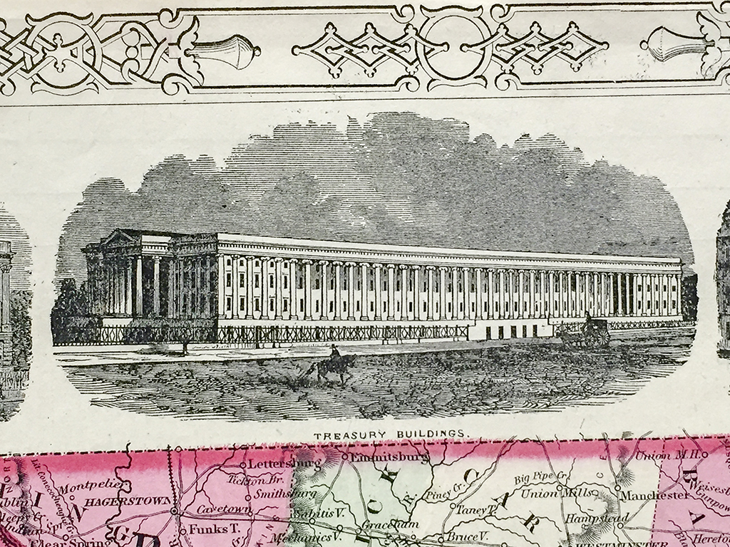
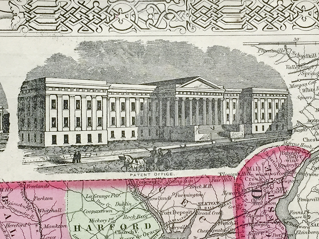
Original antique hand-colored lithograph map of Delaware and Maryland and vicinity from 1865 published by Johnson and Ward, New York with a detailed insert section of the District of Columbia a17 5/8″W x nd vicinity. Each county is distinguished by color with cities, towns, roads, and rail lines acutely illustrated. Johnson and Ward were know for producing detailed, hand-colored maps from around the world. These maps are now highly sought after by historians and map collectors alike.
Out of stock
Additional information
| Weight | 1.00 lbs |
|---|---|
| Catalog: | HISTMapState-014 |
| Dimensions: | 17 5/8"W x 14"H |