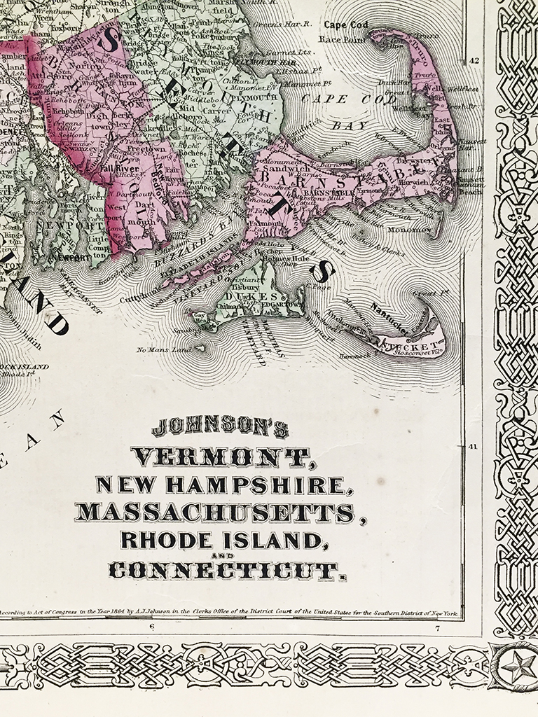
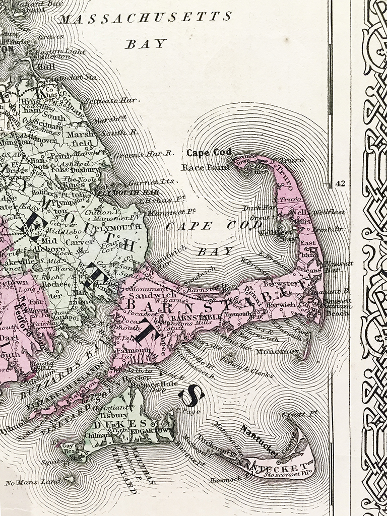
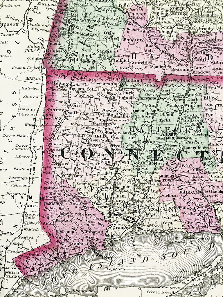
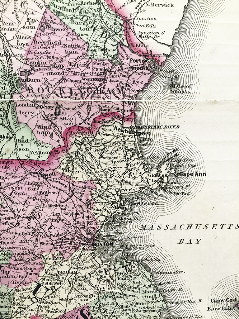
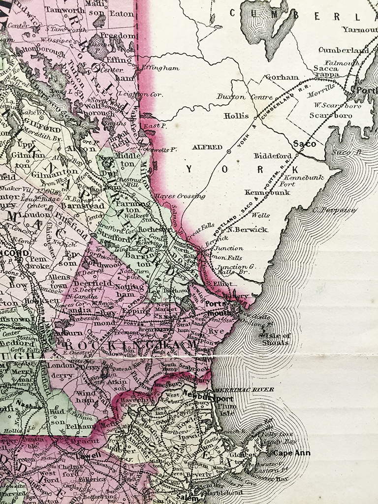
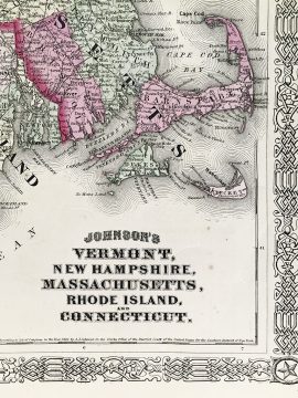
Vermont, New Hampshire, Massachusetts, Rhode Island, Connecticut State Map (1864)
$160.00
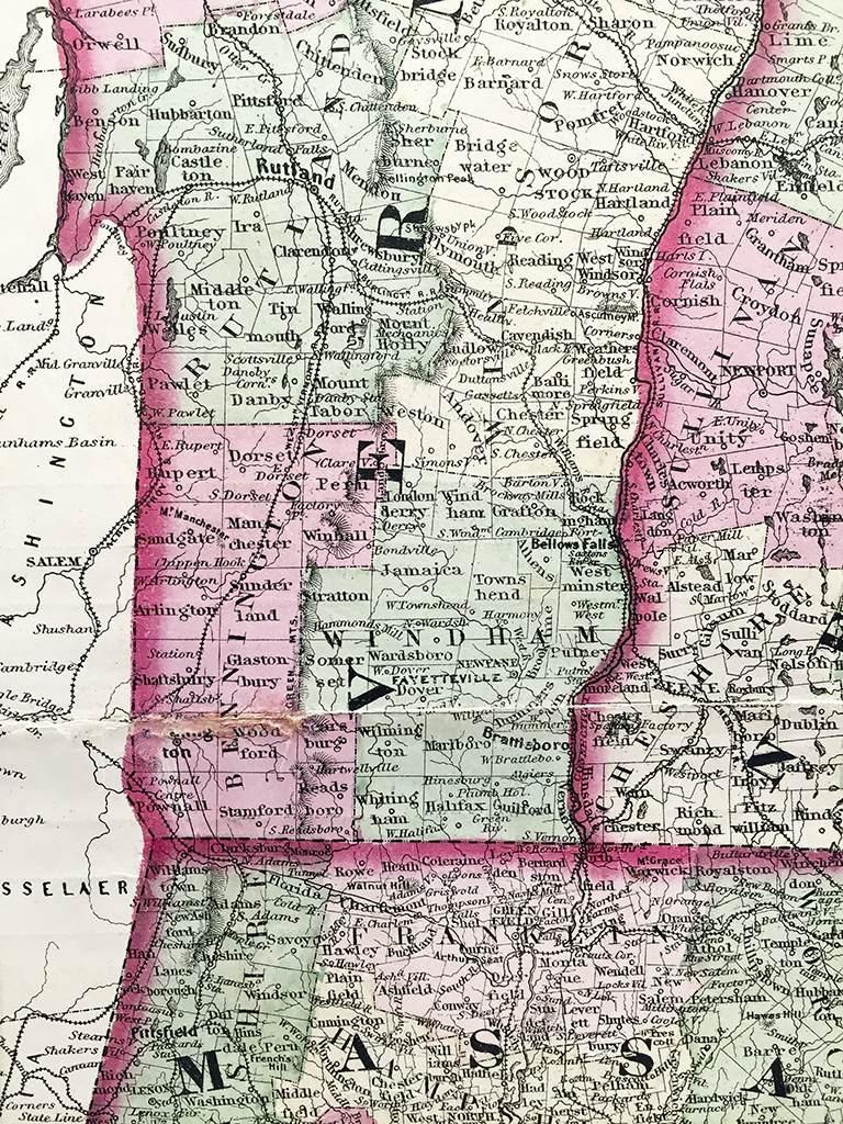
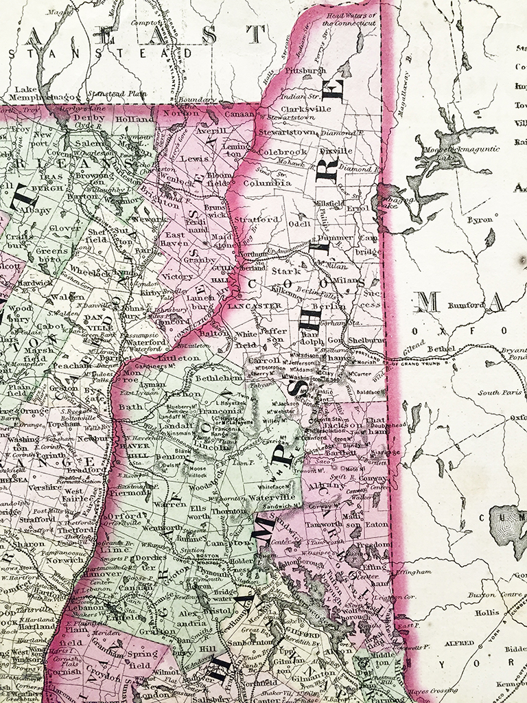
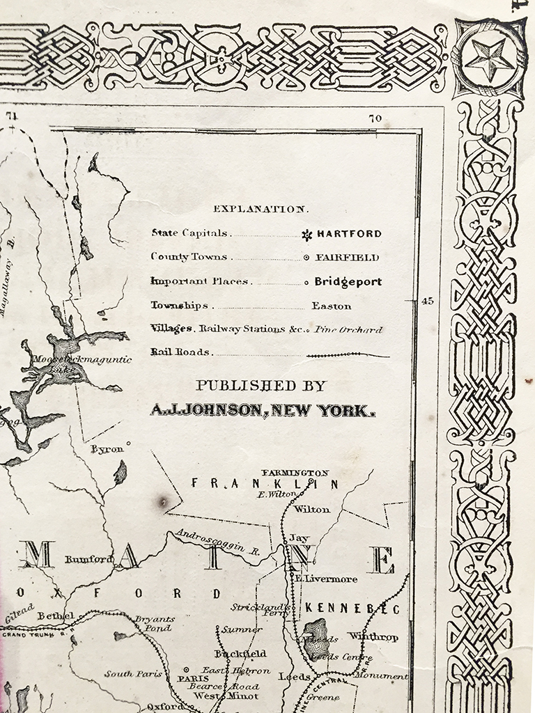
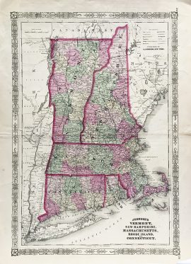
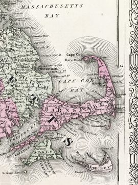
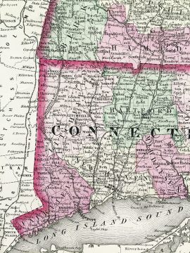
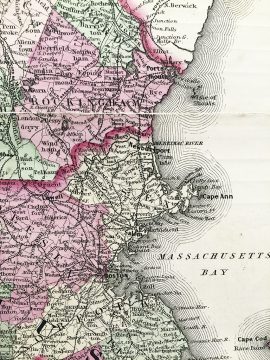
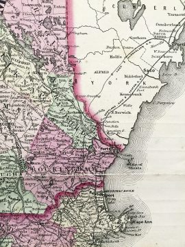
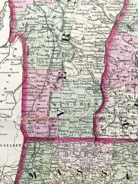
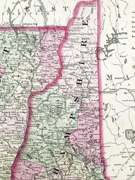
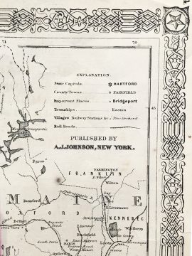
Original antique hand-colored lithograph map of Vermont, New Hampshire, Massachusetts, Rhode Island, and Connecticut and vicinity from 1866 published by A.J. Johnson, New York. Each county is distinguished by color with cities, towns, roads, and rail lines acutely illustrated. A. J. Johnson were know for producing detailed, hand-colored maps from around the world. These maps are now highly sought after by historians and map collectors alike.
Out of stock
Additional information
| Weight | 2.00 lbs |
|---|---|
| Catalog: | HISTMapState-001 |
| Dimensions: | 16 1/2"W x 23 1/4"H |