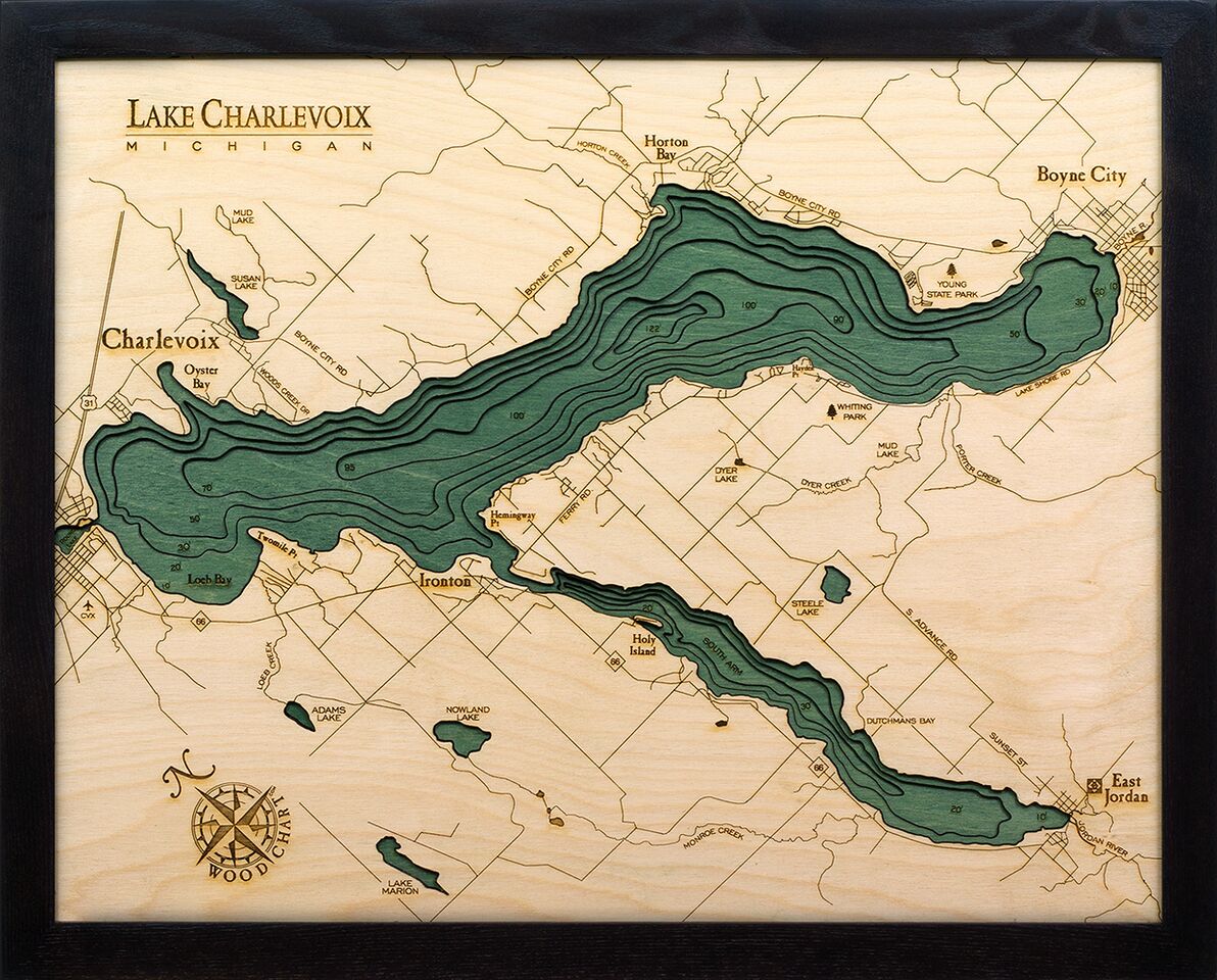
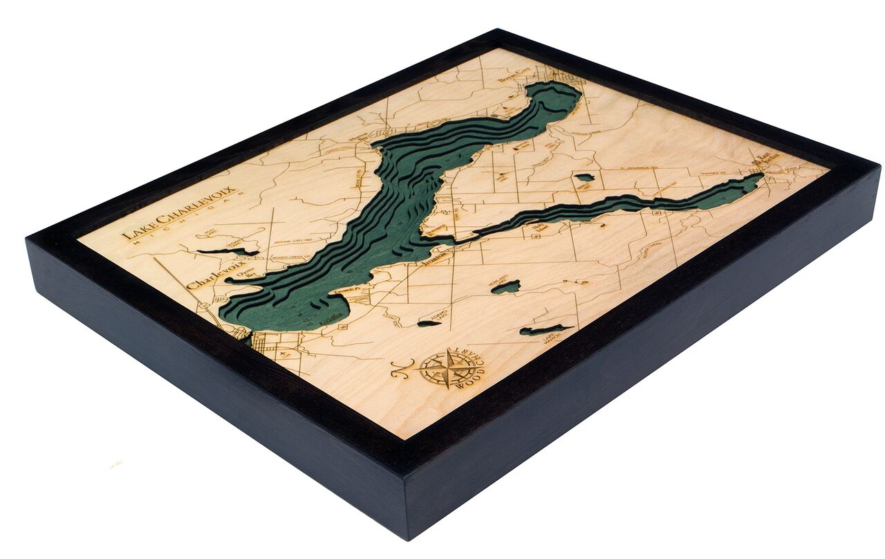
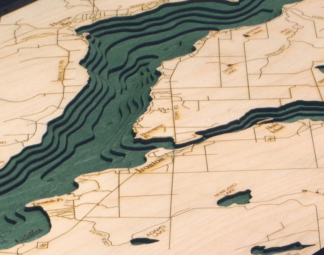


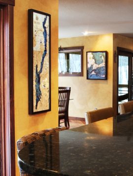

Bathymetric Map Lake Charlevoix, Michigan
$149.00
Extremely accurate bathymetric map of Lake Charlevoix, Michigan and surrounding area. This is the third largest lake in Michigan and has direct access to Lake Michigan via dredged channels. The lake is usually frozen for about three months of the year between January and April. It was previously named Pine Lake, but was changed in 1926 because, among other reasons, the surrounding pine trees had been harvested and there were 25 other lakes in Michigan with that name at the time.
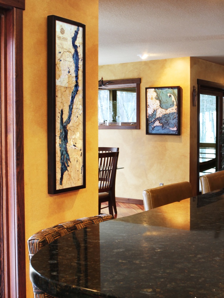
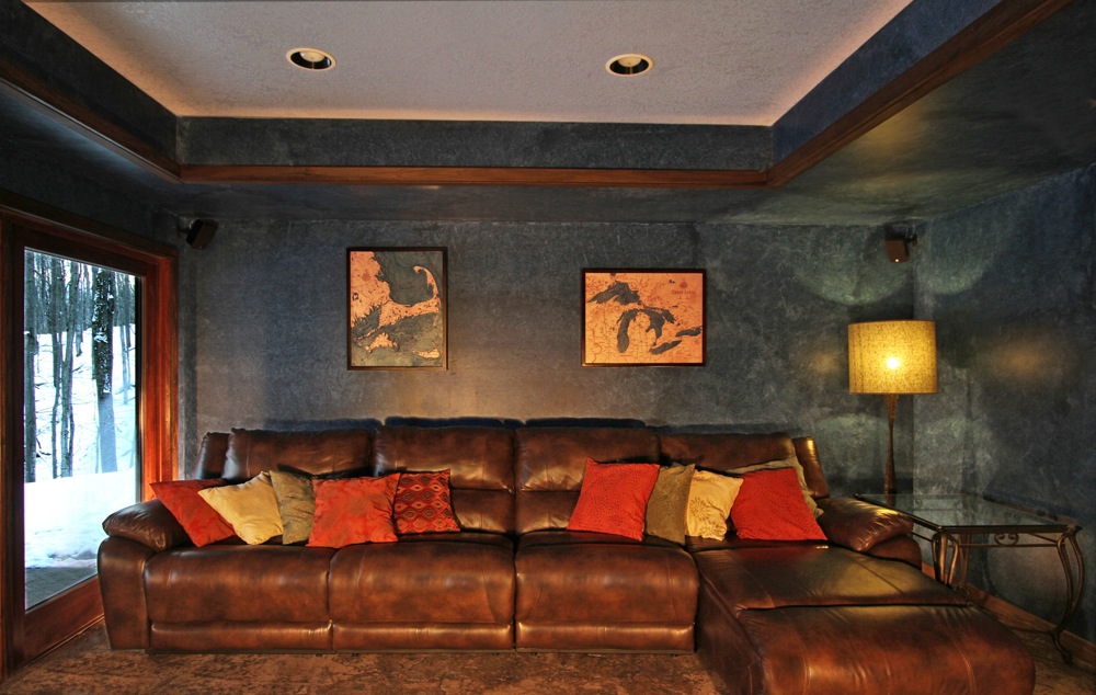
This three dimensional map is carved from Baltic birch wood, framed and has a acrylic covering to protect the wood. Professional cartographers are used in the creation of each individual chart in order to insure the utmost accuracy. Some maps come in two sizes in order to fit virtually any area in the home, office or boat. We have charts from areas across the U.S. available on a drop ship basis. This is a great item at an unbelievable price. If you are searching for a particular area, please call or email.
The color will differ slightly with both the frame and background as each of the maps are hand stained and may vary from the picture.
| Weight | 6.00 lbs |
|---|---|
| Catalog: | BC-LakeCharlevoix |
| Dimensions: | 16"H x 20"W |