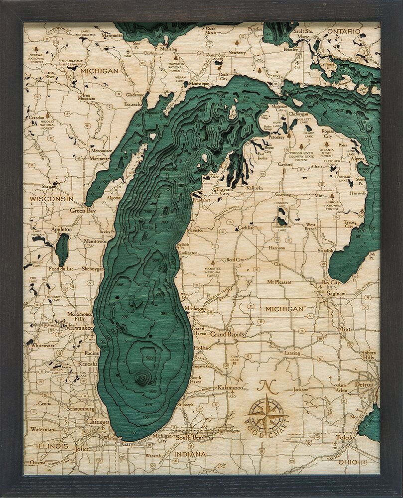
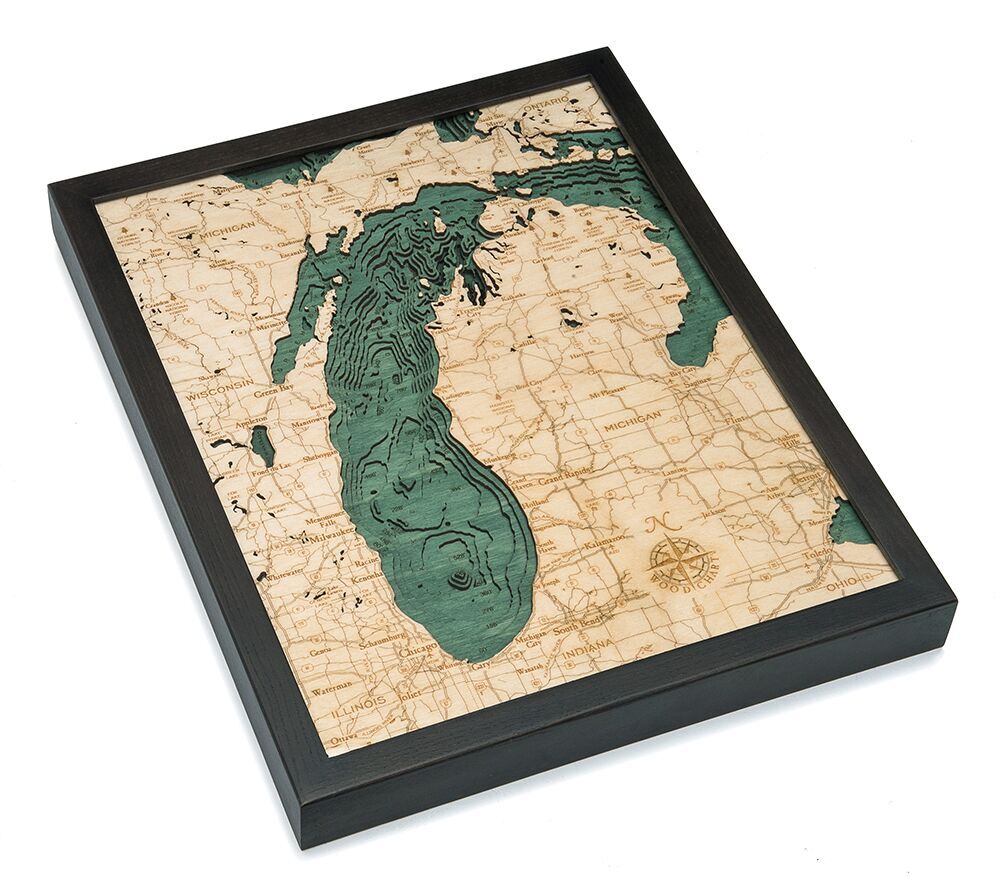


Bathymetric Map Lake Michigan (Small)
$188.00
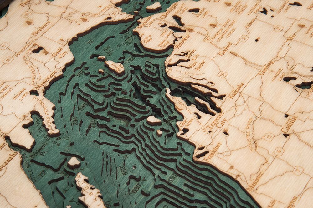
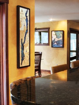
Extremely accurate bathymetric map of Lake Michigan and surrounding area. The only one of the Great Lakes located entirely in the US, Lake Michigan’s beaches are sometimes referred to as the Third Coast (after those of the Pacific and Atlantic). When standing on the waters edge in Illinois, Wisconsin, or anywhere on the lower peninsula of Michigan, it’s impossible to see land across the lake and the view is similar to that of an ocean. The beaches on the western coast and the northernmost part of the east coast are rocky, while the southern and eastern beaches are sandy and soft.
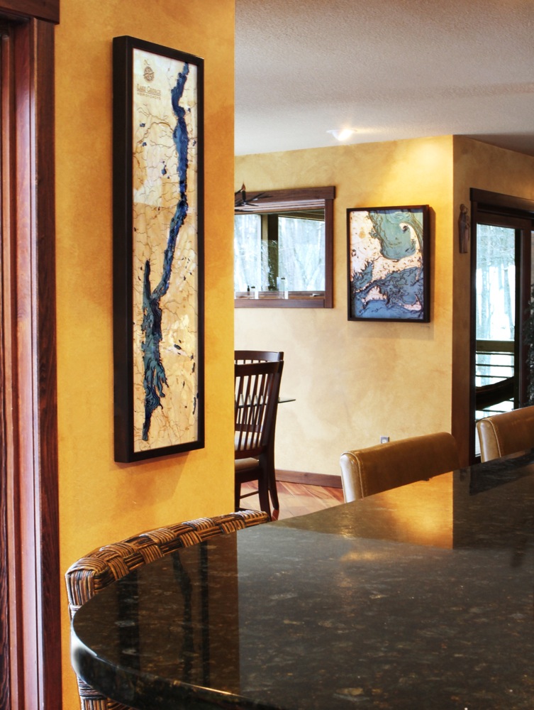
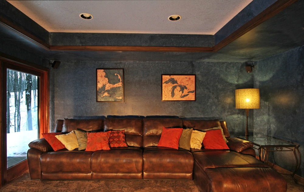
This three dimensional map is carved from Baltic birch wood, framed and has a acrylic covering to protect the wood. Professional cartographers are used in the creation of each individual chart in order to insure the utmost accuracy. Some maps come in two sizes in order to fit virtually any area in the home, office or boat. We have charts from areas across the U.S. available on a drop ship basis. This is a great item at an unbelievable price. If you are searching for a particular area, please call or email.
The color will differ slightly with both the frame and background as each of the maps are hand stained and may vary from the picture.
| Weight | 6.00 lbs |
|---|---|
| Catalog: | BC-LakeMichiganSmall |
| Dimensions: | 16"W x 20"H |
Related products